So I'll try to keep the descriptions brief since I'm putting so many photos in this blog. But our drive down Trail Ridge Road in the Rocky Mountain National Park was a full-day excursion. The travel book we had with us says it takes about 3 hours, but that's only possible if you don't stop and take the short trails to get to the good views. It took us about 7 hours from start to finish and we were pretty beat on the way back to camp.
The first stop is Deer Ridge Junction where you can see the Mummy Mountain range (elevation: 8,940 feet). There's a nice meadow and trail to walk down if you have the time.
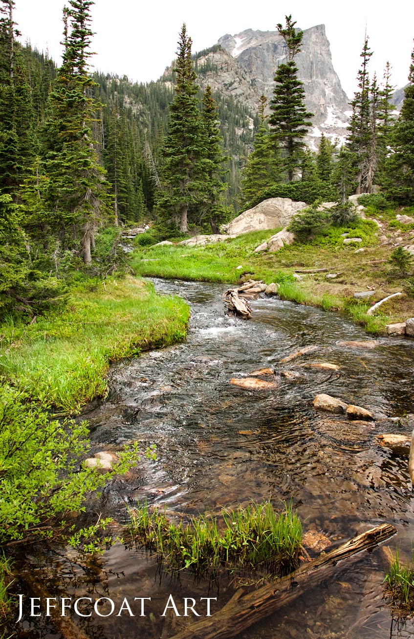
After Deer Ridge Junction there's a small unofficial stop called Beaver Ponds that's basically an open gazebo surrounded by wetlands. It's a nice place to have lunch.
Stop No.2: Hidden Valley (elevation: 9,240 feet). You need to get out of your car and walk the trail here! It's really peaceful with beautiful creeks nearby and picnic tables. It used to be a downhill ski area, but the park is now trying to let the natural flora grow back.
Stop No. 3: Many Parks Curve (elevation: 9,620 feet). This spot has a GREAT view and the term "park" refers to a level valley between mountain ranges. The valley at Many Park Curve was carved by glaciers about 10,000 years ago. It's also a good spot for birders.
Stop No. 4: Rainbow Curve (elevation: 10,829 feet). This spot has a huge overlook where you can have close encounters with birds and ground squirrels. I was lucky to get a couple of shots of the Clark's Nutcracker below. Looking out, you can see all the way to Longs Peak, Hidden Valley and Horseshoe Park.
Stop No. 5: Forest Canyon Overlook (elevation: 11,716 feet). FAVORITE SPOT HANDS DOWN. If you only see one place along the Trail Ridge Road then make it this one. The view is amazing and you can definitely feel the rise in elevation. Erosion from glaciers has carved out a good bit of this canyon and it's a favorite hangout for marmots.
Stop No. 6: Rock Cut (elevation: 12,110 feet). Rock Cut is the highest point along the Trail Ridge Road and is alpine tundra at its harshest. During midsummer temperatures can drop below freezing. The .5 mile walk along the Tundra World Nature Trail is slightly strenuous going uphill. Of course, when I reached the end showing off a beautiful drop off and outcrop of rock my camera battery decided to go dead. But here are some photos on the way up.
Stop No. 7: Lava Cliffs (elevation: 12,080 feet). The Lava Cliffs are pretty cool with layers of snow making a nice contrast against the dark cliffs which were formed by the carving action of glacial ice through thick layers of volcanic ash and debris 28 MILLION YEARS AGO!
Stop No. 8: Fall River Pass (elevation: 11,796 feet). Get ready for stairs....lots of them. You might have to take a couple of breathers on your way to the top, but the view is worth it. And along the trail, native plants and flowers are labeled. When you come back down you can take a break at the Alpine Visitor Center.
Stop No. 9: Medicine Bow Curve (elevation: 11,640 feet). Here you get views of the Medicine Bow Mountains that extend into Wyoming. I took some photos but they were so-so. We did get a random elk visit though.
Stop No. 10: Milner Pass (elevation: 10,758 feet). a.k.a. The Continental Divide baby. This is the point where water flows west to the Pacific or east to the Atlantic. We were able to take the short walk to the Atlantic Ocean side, but because of oncoming rain, we weren't able to take the longer walk to the Pacific side. Oh well.
Stop No. 11: Farview Curve (elevation: 10,120 feet). This spot gives you a glimpse of the beginning of the Colorado River as it makes its way through the Kawuneeche Valley 1,000 feet below.
Stop No. 12: Holzwarth Trout Lodge Historic Site (elevation: 8,884 feet). A very cool place where you can take a tour around the property built in the early 20th century. It started out as a working cattle ranch then evolved into a homestead run by the Holzwarth family. Oh, and FYI, while you're taking the long (but flat) walk towards the lodge, if you stick your thumb out you'll catch a ride :)
And here's a couple shots on the way back to the campsite:
Definitely a lot to see in one day!